Tejjy Inc.’s Advanced Land Surveying & LiDAR Mapping Solutions USA
Integrating BIM and GIS mapping with LiDAR technology, our high quality 3D laser scanning equipment, and professional staff enable land survey services as an efficient solution to every commercial, residential, or real estate development project.
Survey data analysis, subdivision design, legal description writing, mapping, construction layout, and accurate measurements of angles, elevations, lengths, areas, and volumes are all part of a land surveyor’s toolkit. We are experts in real estate surveys delivering plot subdivision and LiDAR based topography analysis. If you require the services of a competent land surveyor for site surveying and home surveying, look no further.
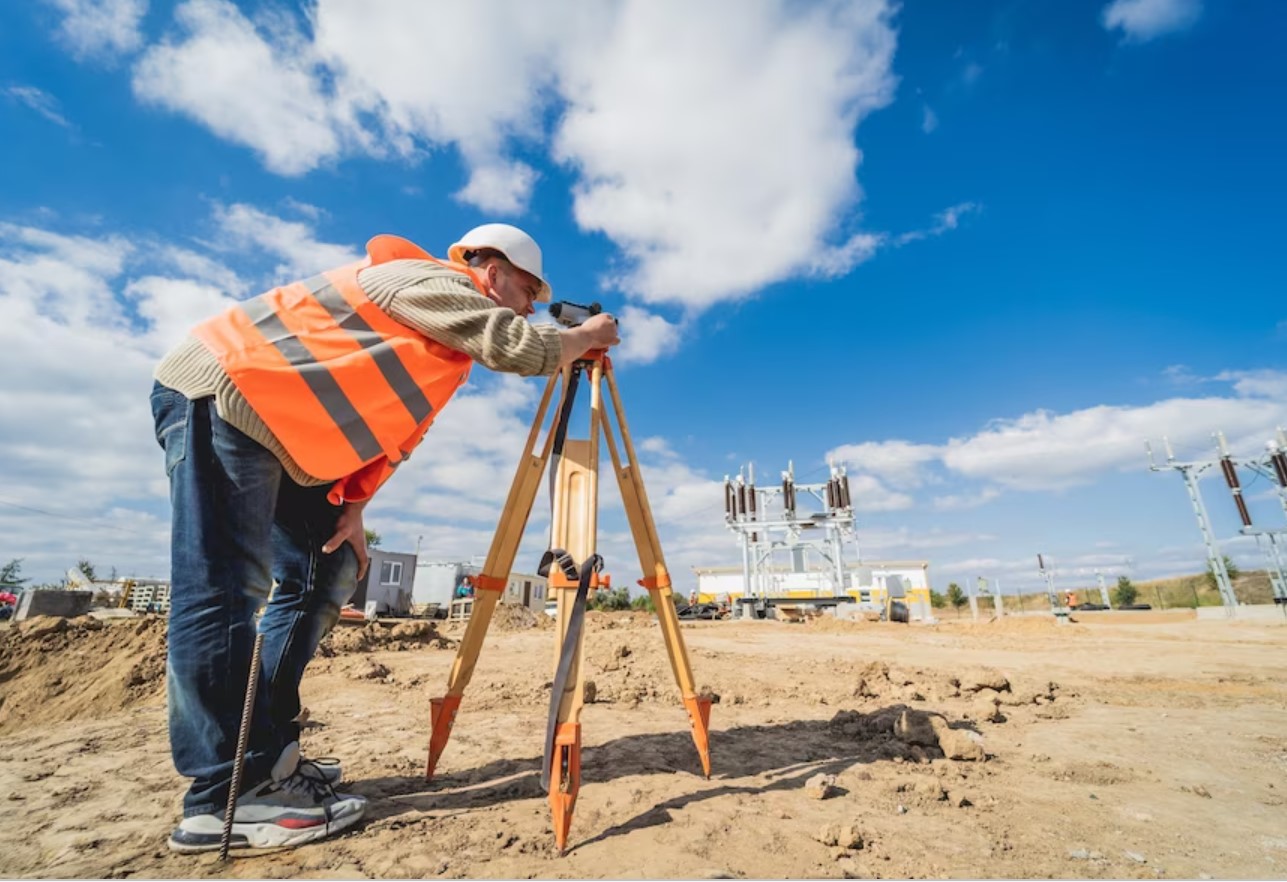
Land Surveying Services We Offer
How Our Land Surveying & Construction Mapping Work:

- Initial Consultation: We start with a detailed discussion to define your project goals, requirements, and timeline.
- Site Research & Background Review: Our team reviews property records, zoning data, and existing surveys to ensure accurate groundwork.
- Proposal & Transparent Pricing: We provide a clear proposal with a detailed cost estimate for informed decision-making.
- On-Site Field Survey: Licensed surveyors capture precise measurements using advanced technology.
- Office Processing & Data Analysis: Experts process field data into detailed drawings and project documentation using Revit and AutoCAD.
- Final Delivery & Review: We deliver final plans on schedule and review results to ensure satisfaction.
OUR EXPERTISE IN
Why Choose Tejjy Inc. for Surveying & Mapping?
When accuracy and compliance matter, Tejjy Inc. is the trusted partner for surveying and mapping nationwide.
- Licensed & certified land surveyors with decades of experience
- Advanced technology – GPS, total stations, drones, and 3D laser scanning
- Reliable deliverables – CAD drawings, topographic maps, as-built documentation
- Fast turnaround – quotes within 24 hours, projects mobilized quickly
- Competitive pricing without compromising on accuracy
- Trusted by AEC firms, real estate developers, contractors, and government agencies
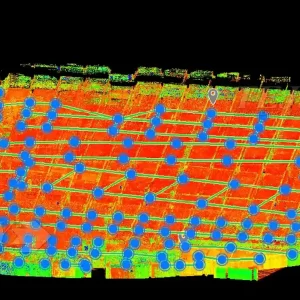
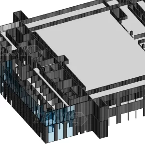
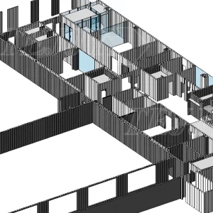
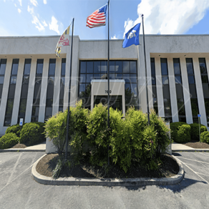
3D Laser scanning Projects
FAQ
The timeline depends on property size and complexity, but LiDAR mapping and 3D laser scanning surveys often shorten the process, delivering accurate results for residential, commercial, and infrastructure projects within days.
Yes, a land survey is essential to verify property boundaries, easements, and encroachments, helping buyers and sellers in the DMV, Texas, Florida, New York, and New Jersey avoid costly disputes and legal issues.
Yes, LiDAR mapping and surveying create high-resolution elevation models ideal for floodplain analysis, coastal developments in Florida, and environmental studies in New Jersey or Texas, ensuring compliance with regulatory standards.
Tejjy delivers detailed survey drawings, LiDAR point clouds, digital elevation models (DEMs), contour maps, and GIS datasets, all ready for BIM integration, construction planning, and infrastructure asset management.
LiDAR mapping is widely used across construction, infrastructure, environmental planning, forestry, floodplain analysis, and archaeology—especially in sectors requiring dense, detailed 3D data.
Absolutely! Tejjy offers seamless scan-to-BIM work using LiDAR data, enabling the creation of precise as-built 3D models and digital twins, greatly enhancing data utility for architectural, infrastructure, and facility projects.
The price of a land survey varies based on several key factors:
- Project size and complexity: Larger or irregular properties take more time to measure and analyze.
- Terrain and accessibility: Forested areas, steep slopes, or restricted sites may require additional effort.
- Type of survey: Boundary, ALTA/NSPS, topographic, or construction layout surveys each have different requirements.
- Regulatory and compliance needs: Extra research may be necessary for permits, zoning, or title approvals.
- Deliverables required: CAD drawings, 3D models, or GIS datasets can influence overall pricing.


